History
Star Island is within the waters of N’dakinna, the traditional lands and waterways of the Abenaki, Pennacook and other related Wabanaki Peoples past and present. We acknowledge and honor with gratitude the land itself and the people who have stewarded it throughout the generations.
Archaeological excavations on the Isles of Shoals indicate that Native Americans were present as far back as 6,000 years ago. Fishermen are believed to have stopped here before John Smith arrived in 1614. He mapped the seacoast, naming what is now known as the Isles of Shoals, “Smyth’s Isles.” The Isles of Shoals became the busiest commercial port on this side of the ocean. It dominated the fish market, indeed setting the price, for a century and a half. The name is likely derived from the term for the “shoaling” or schooling of fish.
The nonprofit Star Island Corporation has owned and operated Star Island since 1916, providing affordable individual and family retreats. While Star Island is founded on the liberal spiritual ideals of Unitarian-Universalism and the United Church of Christ, people representing a variety of beliefs attend conferences regularly.
Over one-hundred years old, the Oceanic House is the largest structure on Star Island. Its main lobby, writing room, Pink Parlor, and dining hall provide a glimpse into the life of the Grand Hotel Era of the late 1800’s when the Isles of Shoals attracted such notable artists and writers as Childe Hassam and Nathaniel Hawthorne.
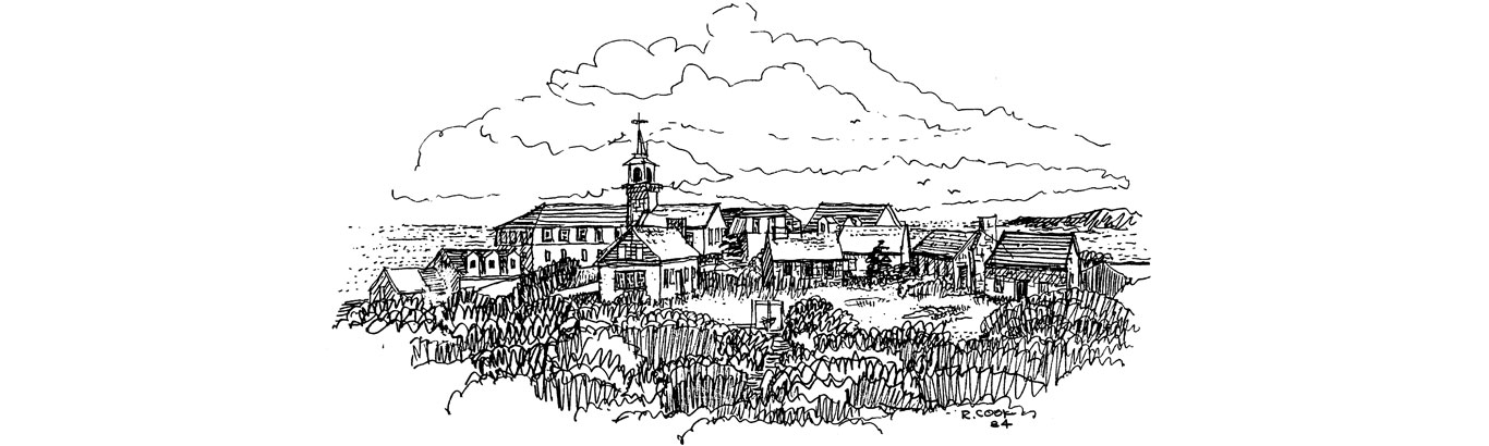
The stone Gosport Chapel is one of Star Island’s most prominent features. It is a simple stone meetinghouse built in 1800 on the highest point of land. Chapel services are a cherished Star Island tradition. At the close of each day, Shoalers gather at the foot of the hill and form a procession, carrying candle lanterns as the villagers of long ago carried their whale-oil lamps up the same winding path. Inside the chapel, the candle lanterns are hung on brackets from the walls, providing the only source of light.